
El Niño: What It Is, Where It Happens, and How Often
This post may contain affiliate links. We may earn a commission if you purchase via our links. See the disclosure page for more info.

If you’ve been following our weather chatter around here and on the news, you’ve probably heard the term El Niño tossed around by meteorologists, farmers, and yes, preparedness-minded moms like me. But what is it really, and why should it matter to your food storage and emergency planning? Let’s break it down in plain terms.
What El Niño Actually Is
El Niño is a natural climate pattern that happens in the tropical Pacific Ocean, roughly between South America and Asia. Under normal conditions, trade winds blow warm surface water westward, from South America toward Asia, and cooler water rises from the depths to replace it along the coasts of Peru and Ecuador. During an El Niño, those trade winds weaken, sometimes even reverse. Warm water that would normally sit in the western Pacific sloshes back eastward, and the surface of the ocean along South America warms up well above average.
That warm patch of ocean doesn’t stay quiet. It changes where thunderstorms form over the Pacific, which shifts the jet stream, which then reshapes weather patterns across huge parts of the globe, including here in the United States. Scientists track this using the Oceanic Niño Index, which measures how far above average sea surface temperatures are in a specific patch of the equatorial Pacific called the Niño 3.4 region. A reading of half a degree Celsius above average, sustained for several months, is enough to call it an El Niño event.
Where It Happens
The origin point is always the tropical Pacific Ocean, but the effects ripple out worldwide. Because the ocean and atmosphere are so connected, a warm patch of water near the equator nudges storm tracks over North America, monsoon patterns over Asia and Australia, and rainfall over parts of Africa and South America. It’s a single climate pattern with global reach.
How Often El Niño Happens
El Niño isn’t on a strict schedule. NOAA’s Climate Prediction Center notes that these events tend to develop in spring, peak in winter, and typically last 9 to 12 months, though some have lasted close to 2 years. On average, a new El Niño shows up every two to seven years, which is why some decades feel like they have back-to-back events and others go a long stretch without one.
El Niño Stats Over the Last 25 to 50 Years in the United States
Looking back across the NOAA historical record from the Climate Prediction Center, here’s a rough picture of El Niño activity affecting the US over the past several decades.
Over the last twenty-five years, roughly nine El Niño events have been recorded, including winters in the early 2000s, mid-2000s, 2009 into 2010, 2014 into 2016, 2018 into 2020, and the strong event of 2023 into 2024. That works out to an event showing up close to every two to three years on average during this period.
Stretch that back to the last fifty years and the count roughly doubles, landing around eighteen events since the mid 1970s. A handful of those stand out as especially strong, with sea surface temperatures well over 1.5 degrees Celsius above average. The most notable very strong events on record were the winters of 1982 into 1983, 1997 into 1998, and 2015 into 2016, each of which brought dramatic weather swings across the country. The 2023-to-2024 event also ranked among the strongest.
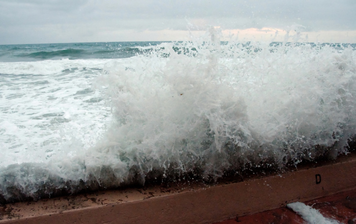
Here in the US, El Niño winters tend to follow a general pattern, though NOAA is quick to point out that no two events behave identically. The southern tier of the country, from California across Texas and into Florida, typically sees wetter and sometimes stormier winters. The Pacific Northwest and the Northern Plains often run drier and milder than average. Temperature effects are less consistent than rainfall effects, so it’s smart to watch your regional forecast rather than assume a national pattern will apply exactly to your backyard.
How to Be Prepared for One
You don’t need to overhaul your entire preparedness plan every time forecasters mention El Niño. A few focused steps will carry you a long way.
First
Find out what an El Niño winter typically means for your specific region. A quick search of your state name along with El Niño outlook will usually turn up a regional breakdown from NOAA or your local news station. Wet and dry regions require different preparations, so this step shapes everything else. NOAA Radio
Second
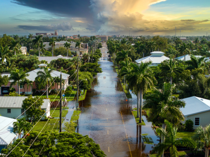
If your area tends to run wetter and stormier during El Niño, walk the outside of your home and check your gutters, downspouts, and drainage paths well before winter arrives. Clear any debris, ensure water flows away from your foundation, and consider having a sump pump checked if you have a basement with a pump installed. Keep a stock of sandbags or flood barriers on hand if you live in a flood-prone area.
Third
If your area tends to be drier and milder, use the extra-dry stretch to your advantage. Top off your water storage, review your wildfire readiness for the coming summer, and take stock of your defensible space around the home if you live in a wildfire-prone area. WaterBricks and Spigot, don’t forget Water Preserver
Fourth
Review your emergency kit regardless of which pattern applies to you. Check flashlight batteries, rotate any expired food in your seventy-two-hour kits, and make sure your family knows the plan if roads flood or power goes out for an extended stretch. Stock up on batteries. My favorite place to buy them (thanks to Harry) is Sam’s Club. I have a Plus membership to have some things delivered right to my home, and it’s very affordable. I buy the Member’s Mark batteries, all sizes.
Fifth
Protect your important documents. Store copies of insurance documents, identification, and financial records in a waterproof container or a secure digital backup, since heavier storm activity increases the risk of water damage. Document Holder
Sixth
Keep an eye on seasonal outlooks as winter approaches rather than just the initial forecast. El Niño strength can shift over the months leading into winter, so checking back in October and November gives you the most accurate picture before the season hits.
None of this requires panic. A calm, steady approach, taken a little at a time, is what keeps a family ready no matter what pattern the Pacific Ocean decides to send our way this year. Please keep your gas tank at 3/4 to full. You don’t want to be one of those who must rush to get gas to evacuate.
Why This Matters for Your Preparedness Plan
Knowing an El Niño winter is coming gives you a head start. If you live in a region likely to see heavier rain and flooding, that’s your cue to check drainage around your home, review your flood supplies, and make sure important documents are stored safely. If you’re in a region likely to run drier, that’s your reminder to think ahead about water storage and wildfire readiness come summer. A little knowledge about these patterns goes a long way toward keeping your family calm and ready, no matter what winter brings.
Final Word
El Niño is a reminder that our weather is part of a much bigger picture, one that stretches across the Pacific Ocean. We can’t control when the next event arrives or exactly how strong it will be, but we can control how ready we are for it. Take a little time this month to look at your region’s typical El Niño pattern, check your emergency supplies, and make any small adjustments your family needs. Preparedness isn’t about fear; it’s about peace of mind. May God bless this world, Linda
Copyright Images: Storm at Night Depositphotos_41118541_S, Storm Waves On The Ocean Depositphotos_374926344_S








We should also consider factors such as the Hunga Tonga undersea volcano that went off in 2022. Photos and a good article are on the NOAA site online. It was VEI-5 and described by scientists as a “magma hammer.” This eruption generated the largest atmospheric explosion ever recorded by modern instrumentation, sent a plume of ash and water vapor up to 58 km into the stratosphere. That water vapor is estimated to take 5-10 years to come back down. They can only guess.
We all hear about the increased volcanic/earthquate activity going on. Undersea techtonic plates are shifting. When they open unimaginable amounts of water go down and are super heated by the heat from the Earth’s core. When that water comes back up, the temps are 500-750 degrees F. Water under pressure has a higher boiling temperature. This super heated water then flows into the oceans, heating them.
Michael Chriction, the authorn who had a law degree and was a medical doctor (smart guy) said, of course there is climate change. The Earth used to be molton. It also used to be frozen.
I kind of looks like we are witness to the Earth changing….doesn’t look like we are headed into the “frozen” chapter.
Mankind will try to manipulate both that and the financial worlds. Neither will work.
As that imitation butter ad said “It’s not nice to fool Mother Nature.”
We just need to be able to take care of ourselves. And, we can if we do it.
Pay attention to Linda on this site. She really does have the answers.
Hi CAddison, thank you for your kind words. I had not heard about the Hunga Tonga undersea volcano that erupted in 2022. I’m wondering if I watched a video about the eruption. We do indeed need to be able to take care of ourselves. Linda
https://research.noaa.gov/hunga-tonga-2022-eruption/
This one has a pretty good “source.”
Well worth the read. Remember that the photo is from a satellite. That gives perspective on how huge the thing was.
Hi CAddison, thank you, i will check it out. Linda
I don’t believe most of any of the El Nino, etc stories. They hardly ever seem to pan out. I think it’s hype – “biggest winter snow ever! buy a new 4wheel drive vehicle”, yada yada yada. If I look out the window and it’s wet, guess what, it rained. If I look out the window and it’s white – it snowed…yay! Best to take all your advice, Linda, and be prepared for anything you can! That’s what to take heed of!
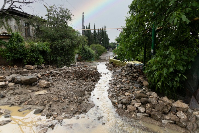
Hi Robbie, I think we had a Monsoon rain the other day. Our builder did not put a big enough French drain in. We had one house that had a French drain so I know a little about them. When I saw this small one installed, I thought, there is no way, that’s going to be big enough. I kept my mouth shut. Sure enough, Mark was out there bailing water with a bucket. Mark and I have been through several 500 year floods. You cannot stop the mud, rocks, or water. Linda
We’ve been having unusually hot weather here in East Texas. 103-109 degrees for the last 10 days or so. No rain either.
HI Deborah, the temperatures just keep going up. My tomatoes are suffering right now from the heat. We had one night of really hard rain, then it stopped. Linda
I live in Western New York. We can have 4 feet of snow in one area, drive 10 miles north and only have flurries. I will prepare for the worse, and hope for the best. Everyone stay safe and healthy.
Hi Chris, ten miles and you have flurries, oh my gosh. I love fresh snow! I don’t like driving in it. LOL! Linda